
 EN
EN
 ar
ar bg
bg hr
hr cs
cs da
da nl
nl fi
fi fr
fr de
de el
el hi
hi it
it ko
ko no
no pl
pl pt
pt ro
ro ru
ru es
es sv
sv tl
tl iw
iw id
id lv
lv lt
lt sr
sr sk
sk sl
sl uk
uk vi
vi et
et hu
hu th
th tr
tr fa
fa ms
ms hy
hy ka
ka ur
ur bn
bn mn
mn ta
ta kk
kk uz
uz ku
ku
Vertical In-Place Inclinometer System
Kingmach Vertical In-Place Inclinometer System for category-level tilt monitoring are designed for bridges, tunnels, slopes, buildings, foundation pits, railways, dams, embankments, underground works, and geological hazard areas. The category includes fixed tilt sensors, integrated wireless tilt units, vertical in-place inclinometer strings, sliding inclinometer instruments, and acquisition modules. Product pages describe high-sensitivity sensing elements, real-time monitoring, strong anti-interference ability, easy installation, and adaptability to harsh environments. The practical role of the category is to observe angular change, deep internal deformation, and horizontal displacement patterns that may not be visible through ordinary survey methods. A complete tilt monitoring plan should define measuring axis, range, mounting surface, borehole depth, communication method, power supply, baseline date, and related instruments. That level of detail helps engineers interpret small angular changes without losing the connection to the structure or ground body being monitored.
Application of Vertical In-Place Inclinometer System
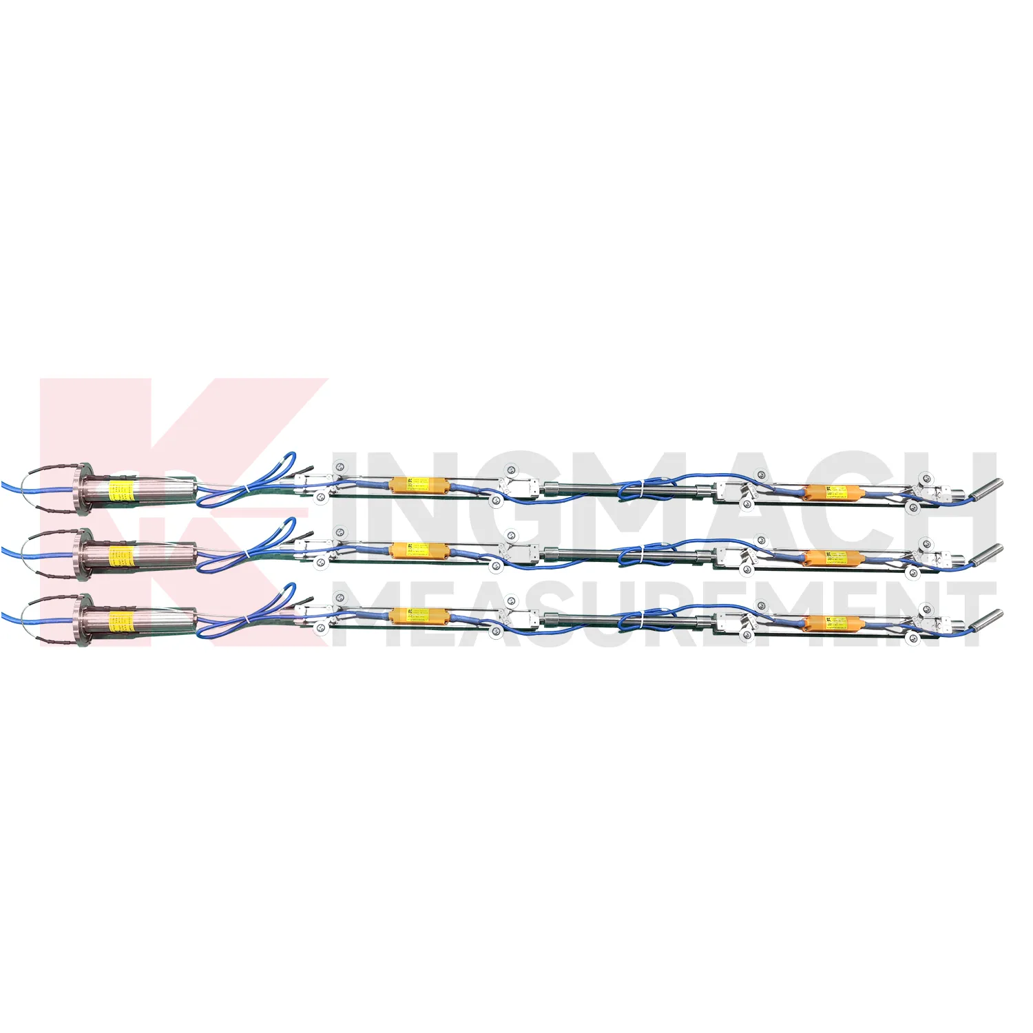
Dam and embankment monitoring use Vertical In-Place Inclinometer System to follow angular change and internal deformation under water-level, seepage, consolidation, and seasonal effects. JMZX-7100L is used for horizontal displacement changes inside soil masses in dams and embankment slopes, while JMQJ-7915ATS can support fixed multi-depth monitoring in boreholes. Fixed tilt sensors may also be used on gallery structures, retaining walls, or equipment bases where angular change is important. Readings should be reviewed beside reservoir level, seepage, rainfall, pore pressure, settlement, and inspection notes. The work is long-term, so sensor orientation, borehole position, casing condition, and reference direction must be recorded carefully. A stable tilt or inclinometer record can help distinguish slow consolidation from localized deformation linked to water or structural change.
The future of Vertical In-Place Inclinometer System
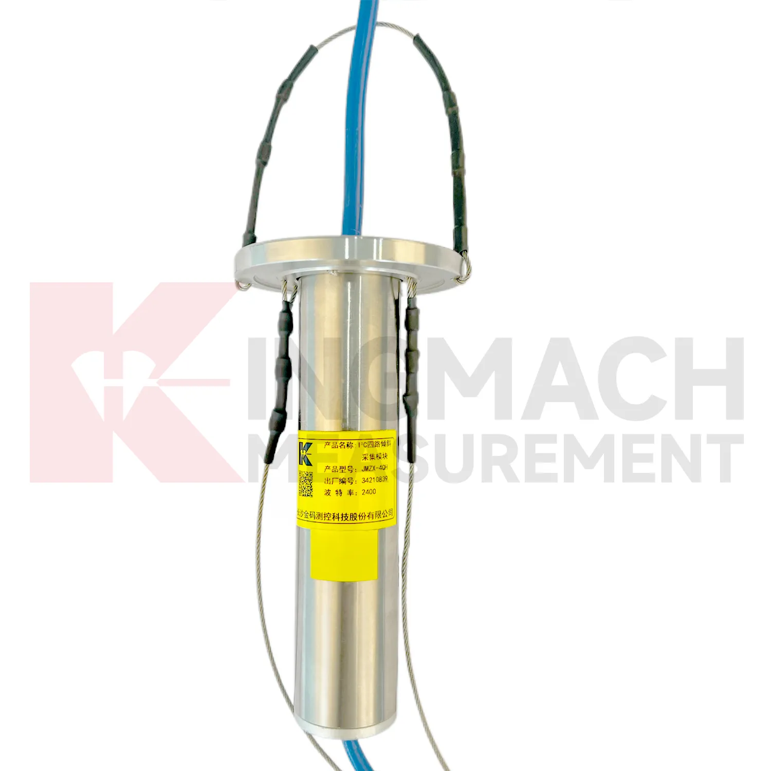
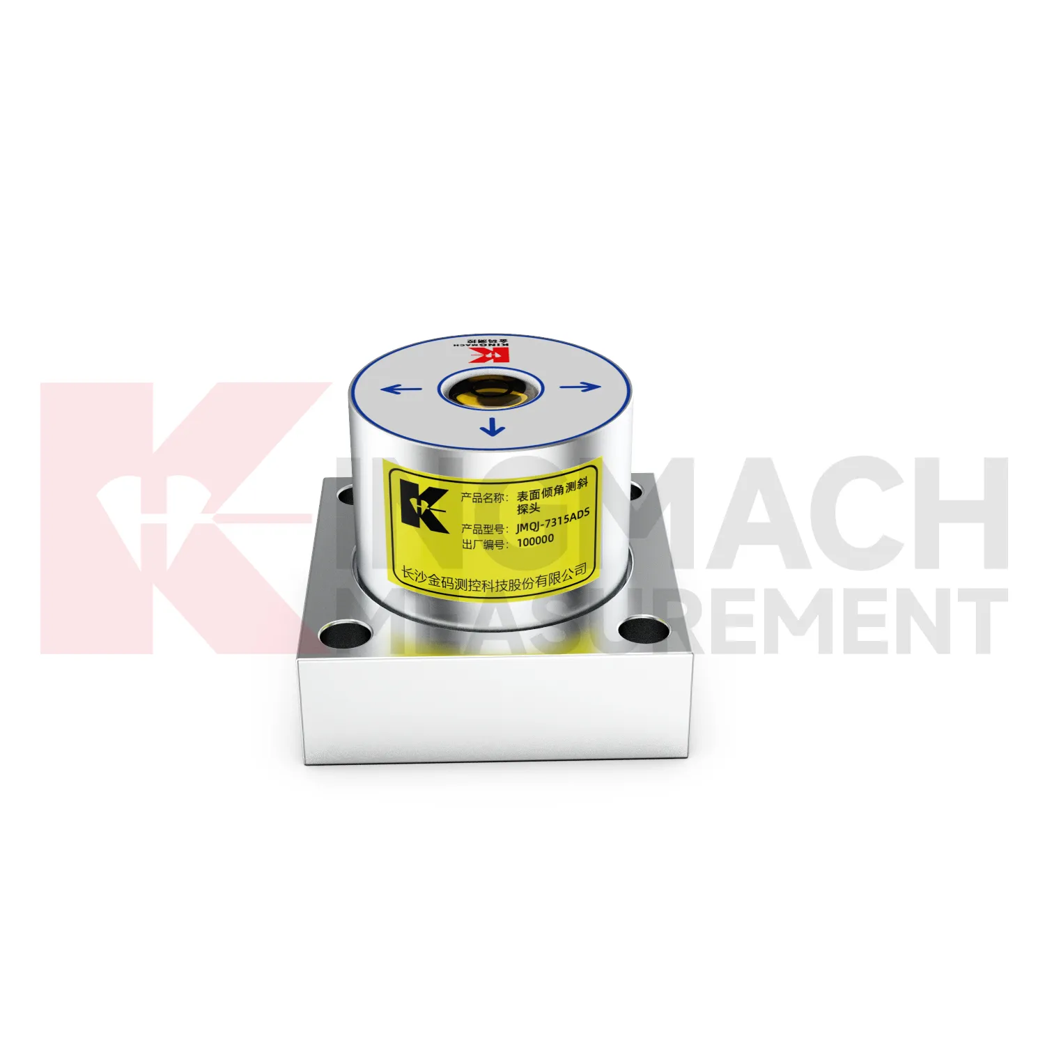
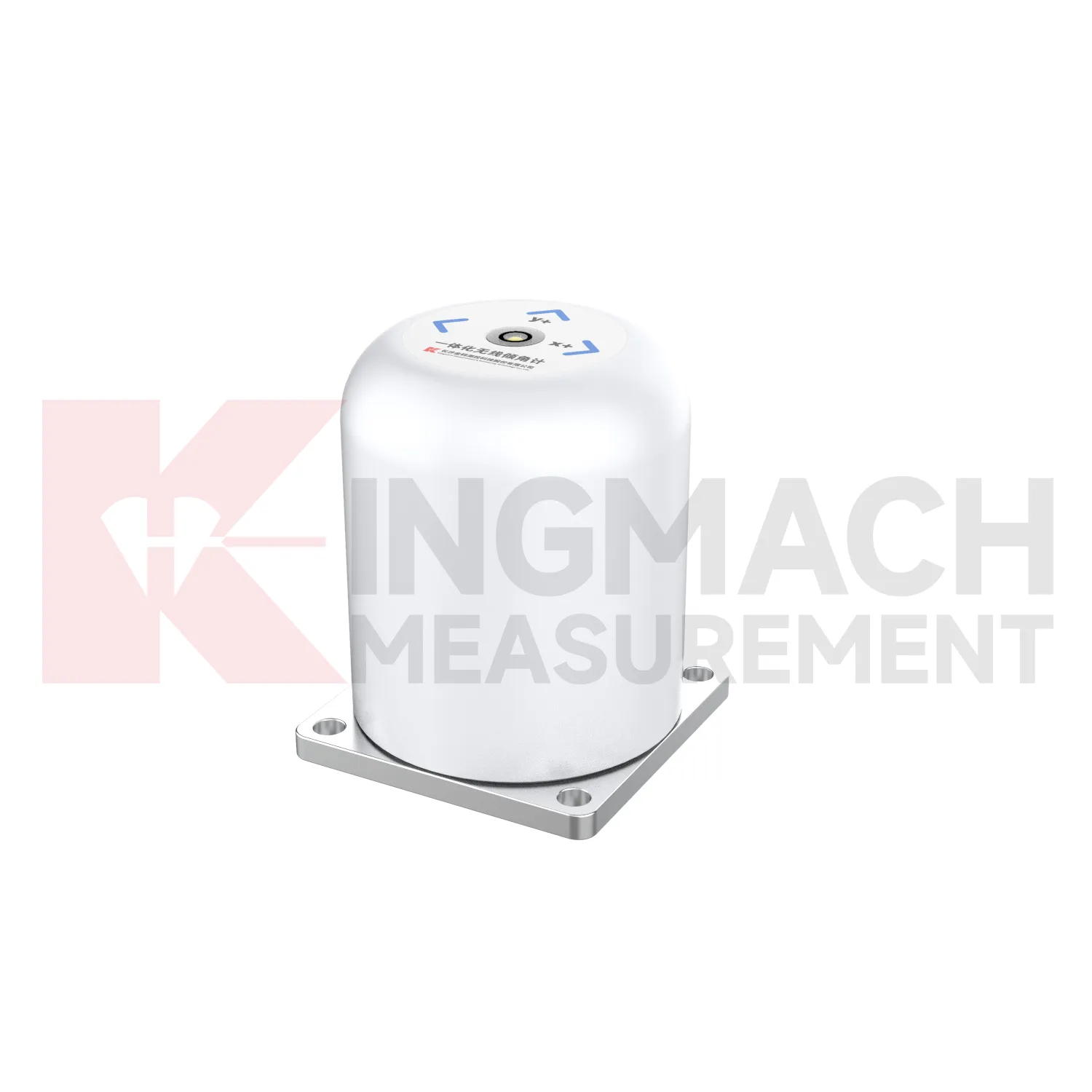
The future of Vertical In-Place Inclinometer System will include stronger links to maintenance budgeting. Owners of bridges, railways, dams, tunnels, buildings, slopes, and towers need to rank which assets are stable and which require inspection or repair. Long-term tilt records can support that ranking when they are collected consistently and tied to structural locations. JMQJ-7315ADS, JMQJ-7315RTU, JMQJ-7915ATS, JMZX-7100L, and JMZX-4QH provide different paths for collecting angular or internal deformation data. Future asset systems can connect these records to inspection cycles, repair dates, weather events, and risk categories. The result is a tilt record that supports planning, not only construction-stage warnings.
Care & Maintenance of Vertical In-Place Inclinometer System
Sliding inclinometer care for Vertical In-Place Inclinometer System requires consistent field procedure. JMZX-7100L uses a sliding probe with Bluetooth communication, APP reading, storage, and post-processing software. Field crews should use the same casing reference, probe orientation, depth interval, reading direction, and waiting time. Clean the probe after use, inspect guide wheels, check battery or reader status, confirm Bluetooth pairing, and download data before leaving the site. Record operator, weather, groundwater condition, casing obstruction, and any unusual resistance during movement. Small handling differences can create profile differences, so repeatability matters as much as instrument precision. Good manual practice keeps inclinometer profiles useful for comparing long-term soil movement.
Kingmach Vertical In-Place Inclinometer System
Kingmach Vertical In-Place Inclinometer System are useful when an engineering team needs tilt data that can be compared with displacement, settlement, strain, water level, or load readings. Tilt rarely stands alone. A retaining wall may rotate while a nearby displacement meter shows horizontal movement. A bridge bearing area may tilt as temperature and traffic change. A slope borehole may show deep lateral deformation before the ground surface opens. Kingmach JMQJ-7315ADS provides RS485 digital output for fixed tilt monitoring, and JMQJ-7315RTU provides 4G digital transmission for remote unattended work. These communication paths help put tilt data into a monitoring platform where engineers can compare time stamps and site events. The stronger the data chain, the easier it is to decide whether an angle change is structural behavior, installation disturbance, or a temporary environmental response.
FAQ
Q: How accurate is the JMQJ-7315ADS tiltmeter?
A: The product page lists 0.001 degree resolution and 0.01 degree accuracy for the +/-15 degree dual-axis model.Q: What protection grade does JMQJ-7315ADS have?
A: It is listed with IP68 waterproof protection and an operating environment from -30 degrees Celsius to +80 degrees Celsius.Q: What range does JMQJ-7315RTU provide?
A: The integrated wireless model lists +/-30 degree and +/-15 degree dual-axis range options, with 0.001 resolution.Q: How many sensors can JMZX-4QH support?
A: The module lists four channels and support for up to 100 sensors in a multi-point inclinometer system.Q: What is the guide wheel spacing for JMZX-7100L?
A: The sliding inclinometer page lists a 500 mm guide wheel spacing reference and a +/-90 degree sensor range.
Reviews
David Wilson
We purchased displacement transducers and settlement sensors, and the quality exceeded our expectations. Easy installation and reliable performance.
Matthew Garcia
Instrumentation cables are durable and perform well even in harsh environments. Will definitely order again.
Latest Inquiries
To protect the privacy of our buyers, only public service email domains like Gmail, Yahoo, and MSN will be displayed. Additionally, only a limited portion of the inquiry content will be shown.
Charlotte***@gmail.comUnited Arab Emirates
Hi, we require instrumentation cables suitable for harsh environments. Could you advise on specifica...
Amelia***@gmail.comSingapore
Hello, I am looking for visualization software for monitoring system data analysis. Please let me kn...