
 EN
EN
 ar
ar bg
bg hr
hr cs
cs da
da nl
nl fi
fi fr
fr de
de el
el hi
hi it
it ko
ko no
no pl
pl pt
pt ro
ro ru
ru es
es sv
sv tl
tl iw
iw id
id lv
lv lt
lt sr
sr sk
sk sl
sl uk
uk vi
vi et
et hu
hu th
th tr
tr fa
fa ms
ms hy
hy ka
ka ur
ur bn
bn mn
mn ta
ta kk
kk uz
uz ku
ku
tiltmeter sensor
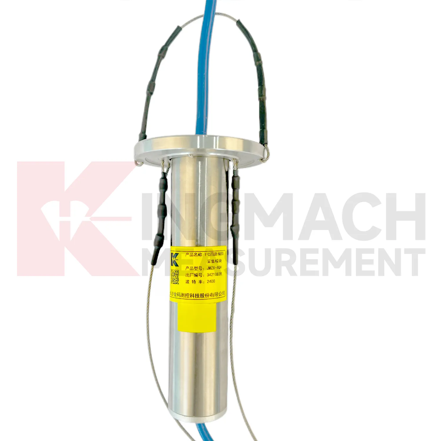
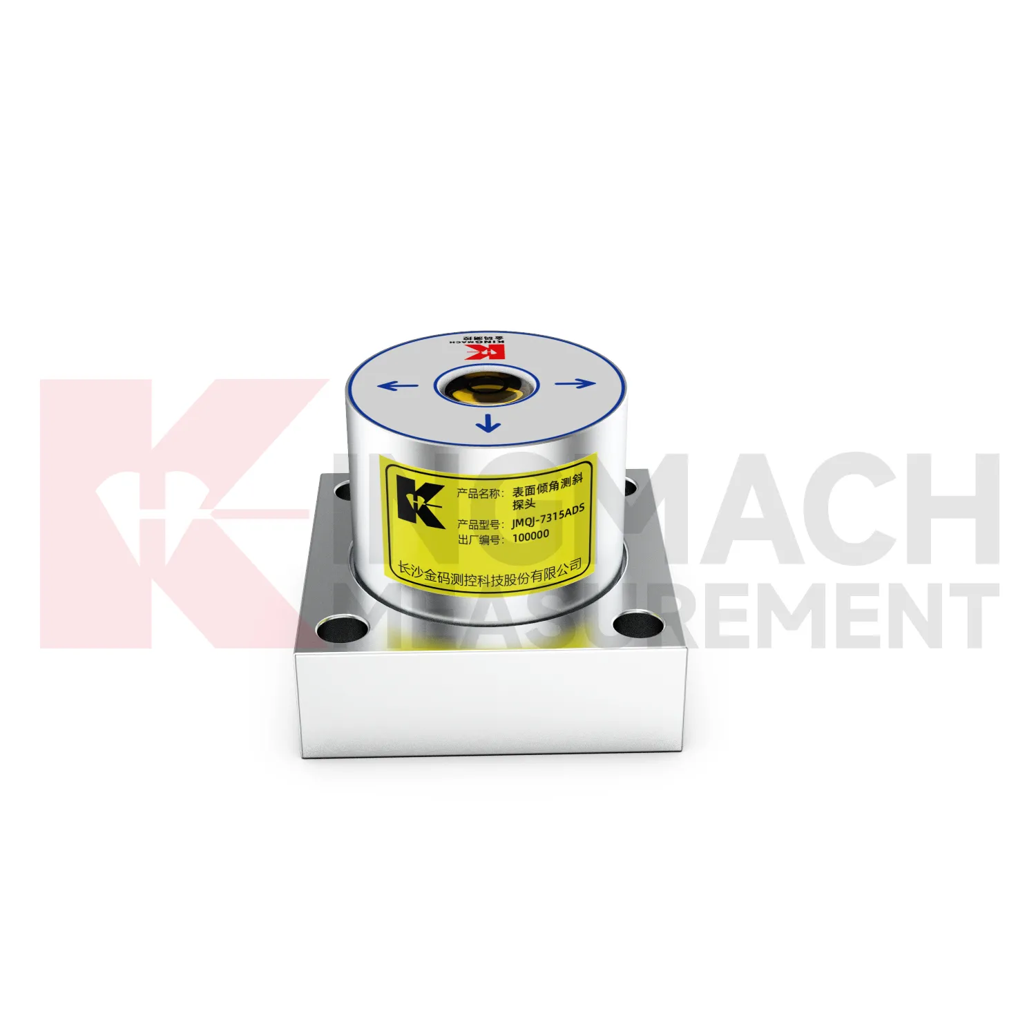
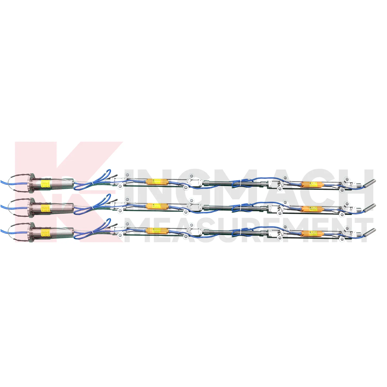
The JMQJ-7915ATS vertical in-place inclinometer system gives Kingmach tiltmeter sensor a multi-point downhole monitoring method. The system consists of a multi-point tandem inclinometer string and an orifice acquisition module. Multiple MEMS inclination sensors are electrically connected through a single cable inside the borehole, while universal joints and connecting rods arrange measuring points according to design spacing. The system can divide sensors into up to four independent communication groups, uses automatic temperature compensation, and includes electronic identifiers for automatic recognition and intelligent calculation. Published specifications include dual-axis +/-90 degrees tilt range, 0.001 degree resolution, 0.01 degree accuracy, DC 9V to 24V operating voltage, power consumption below 0.2W, single-wire uplink communication at 1200 bps, -30 degrees Celsius to +70 degrees Celsius operating temperature, 0.35 m guide wheel spacing, about 0.8 kg weight, and IP68 protection.
Application of tiltmeter sensor
Port and underground construction projects use tiltmeter sensor to follow soil movement, retaining structures, and deep displacement where surface survey alone is limited. JMZX-7100L is described for port engineering and underground construction projects, with Bluetooth communication, APP reading, large storage, and post-processing software. The sliding probe method is useful when engineers need a deformation profile along an inclinometer casing rather than one fixed surface angle. Field crews should keep casing ID, depth interval, probe orientation, reading direction, groundwater condition, and operator notes consistent. Data can then be compared with excavation, dredging, surcharge loading, pile work, or retaining wall movement. Good field discipline prevents a profile change from being confused with probe handling differences.
The future of tiltmeter sensor
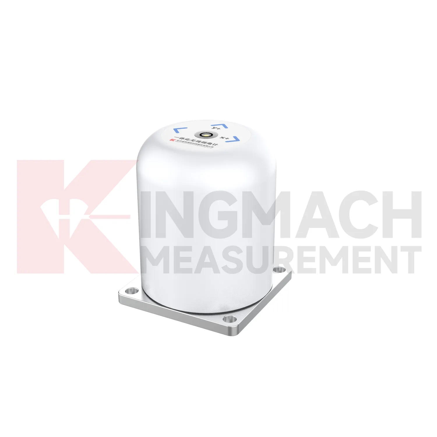
Data interpretation will become a stronger part of future tiltmeter sensor use. Angle values are precise, but the engineering meaning depends on direction, rate, location, structure type, and nearby events. A building column tilt record, a slope borehole profile, and a bridge pier rotation curve should not be judged the same way. Future platforms can help by grouping points by structure, showing rate of change, linking photos and inspection notes, and comparing tilt with settlement, displacement, strain, load, and water level. Kingmach tilt products provide the sensing layer; the next practical gain comes from making review workflows clearer. Better interpretation reduces both missed warnings and unnecessary field alarms.
Care & Maintenance of tiltmeter sensor
Data review is part of maintaining tiltmeter sensor. A curve should be checked for rate, direction, sudden jumps, missing values, repeated flatlines, and disagreement with nearby instruments. Compare tilt with settlement, displacement, strain, load, pore pressure, rainfall, vibration, and water level when available. For automated systems, verify channel names, units, time stamps, and alarm thresholds after platform changes. For manual readings, keep raw field notes and processed graphs together. If an alarm appears, inspect the mounting point, communication path, recent site work, and related instrument behavior. A good maintenance process treats data quality and field condition as one record, not two separate tasks.
Kingmach tiltmeter sensor
A well planned Kingmach tiltmeter sensor installation starts with the engineering question, not with the sensor model. Is the project checking bridge pier rotation, building tilt, retaining wall movement, slope depth deformation, railway foundation behavior, or underground construction response? The answer determines whether a fixed biaxial tiltmeter, wireless integrated unit, sliding inclinometer, vertical in-place string, or acquisition module is required. It also determines where the reference direction should be marked, how often readings are taken, and what warning level means. Product parameters such as +/-15 degrees, +/-30 degrees, +/-90 degrees, 0.001 degree resolution, RS485, 4G, Bluetooth, IP68, IP67, and operating temperature should be linked to that project question. Clear planning keeps tilt monitoring useful throughout installation, commissioning, operation, and later review.
FAQ
Q: How should tiltmeter sensor be installed?
A: The mounting surface or borehole position should be stable, the axis direction must be recorded, and the baseline should be saved after the instrument settles.Q: Why is axis direction important?
A: Tilt values only have engineering meaning when the positive and negative directions are tied to the structure, slope, tunnel, or borehole drawing.Q: Can these instruments work in wet sites?
A: Several Kingmach models list IP65, IP67, or IP68 protection, but glands, connectors, cabinets, and cable entries still need field inspection.Q: What should be checked during commissioning?
A: Check model, range, serial number, communication, power, baseline, point name, mounting photo, channel address, and related site condition.Q: Can a tiltmeter be reset after installation?
A: It can be re-baselined when necessary, but the old value, new value, reason, date, and technician should remain visible in the record.
Reviews
David Wilson
We purchased displacement transducers and settlement sensors, and the quality exceeded our expectations. Easy installation and reliable performance.
Michael Anderson
The strain gauges and load cells are extremely accurate and stable. They performed very well in our bridge monitoring project. Highly recommended!
Latest Inquiries
To protect the privacy of our buyers, only public service email domains like Gmail, Yahoo, and MSN will be displayed. Additionally, only a limited portion of the inquiry content will be shown.
Amelia***@gmail.comSingapore
Hello, I am looking for visualization software for monitoring system data analysis. Please let me kn...
Sophia***@gmail.comUnited Kingdom
Good day, we need environmental monitoring sensors including temperature, humidity, and wind sensors...